Laâyoune-Sakia El Hamra
The heart of the southern provinces: a regional capital, desert heritage cities and a long Atlantic coastline.
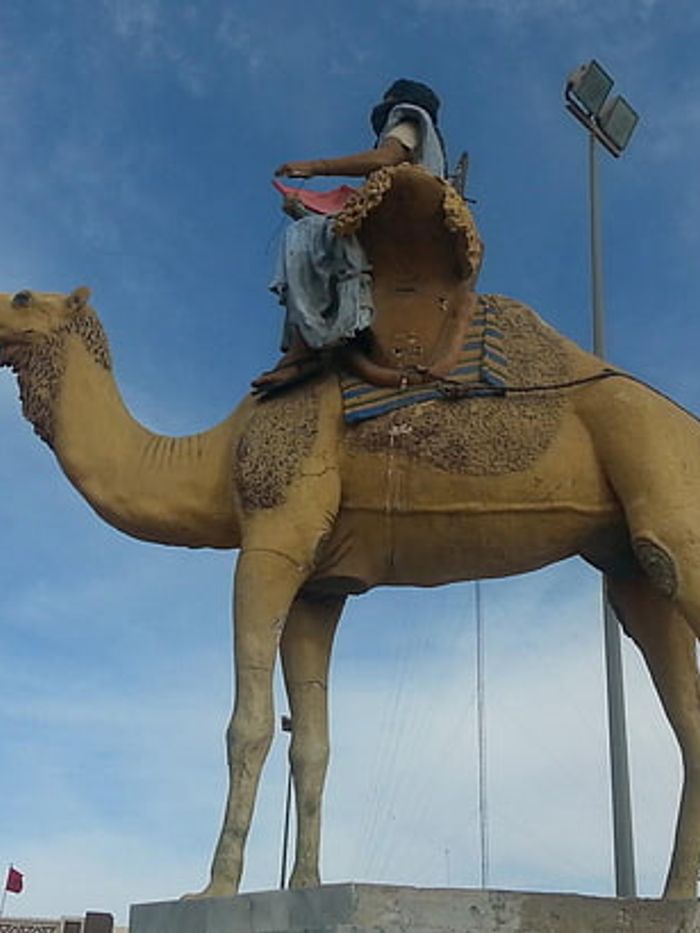
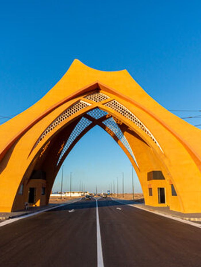
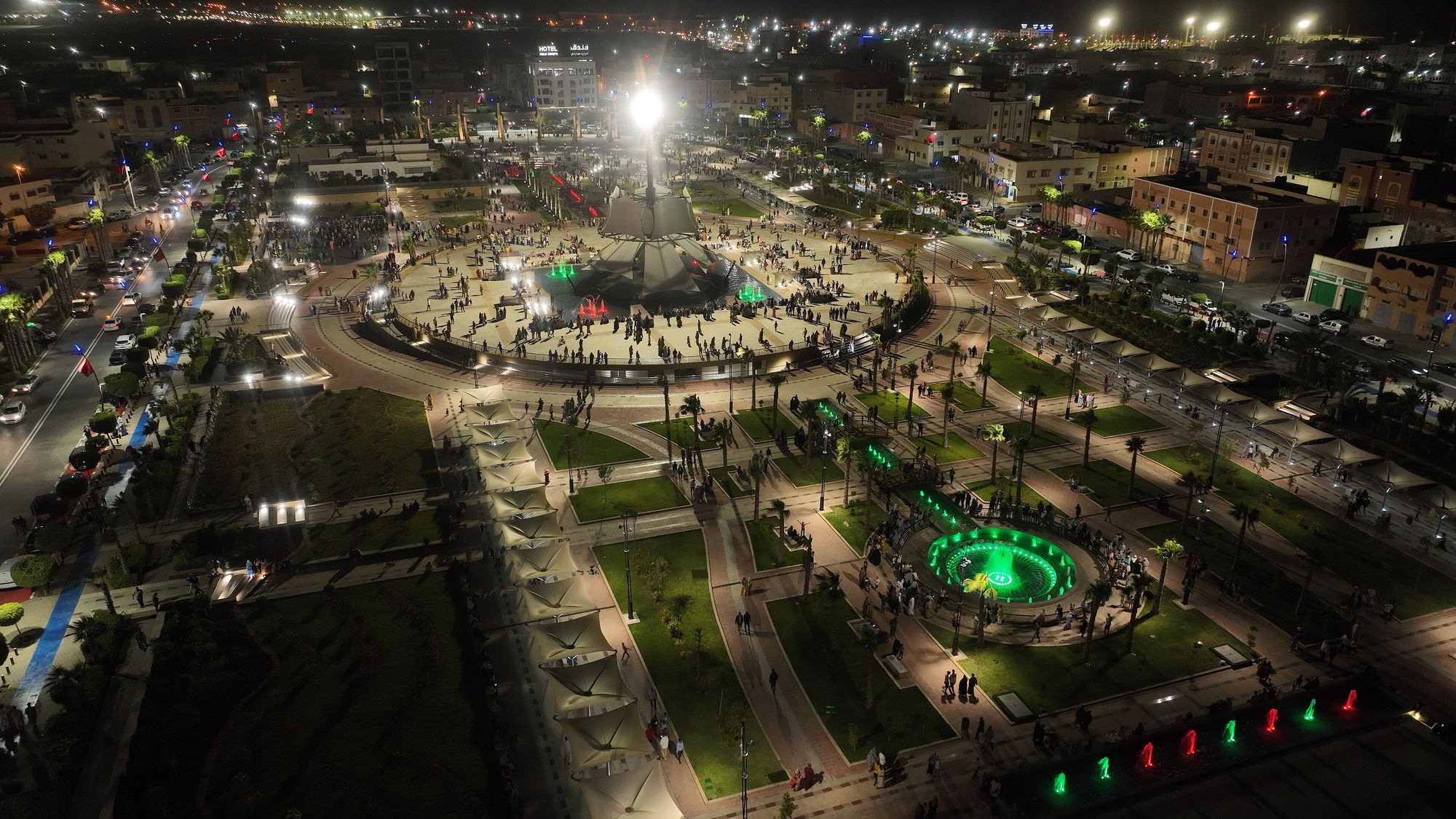
Photo: Zakaria Taberkant / Commune of Laayoune, Wikimedia Commons, CC BY-SA 4.0
Laâyoune-Sakia El Hamra stretches from the Atlantic coast deep into the Moroccan Sahara, taking its name from its capital and from the Saguia el-Hamra, the “red river” valley that crosses it from east to west. It is the most populous of the southern regions and the administrative heart of the south.
Overview
The region was created in Morocco’s 2015 regional reform and is made up of four provinces: Laâyoune, Boujdour, Tarfaya and Es-Semara. Most people live in Laâyoune, a modern city with the region’s main airport, port and services. The coast is lined with fishing towns, and the interior is a vast plateau of stony desert, dunes and seasonal riverbeds.
What to see
- Laâyoune: the regional capital, a good base for the south.
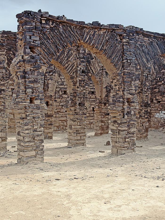
- Smara: the inland city of Sheikh Ma al-Aynayn and its zawiya.
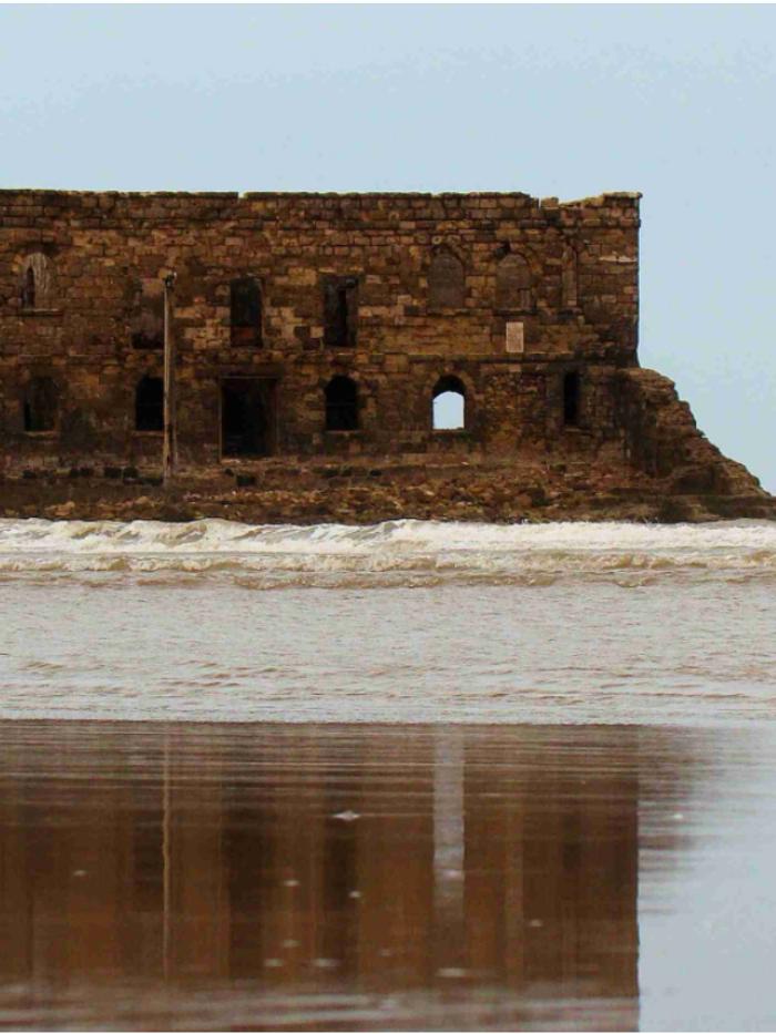
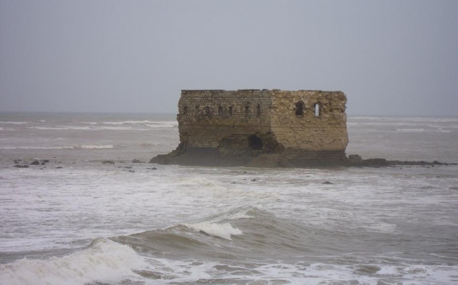
- Tarfaya: Casa Mar and the Saint-Exupéry museum.
- Boujdour: the lighthouse at Cape Bojador.
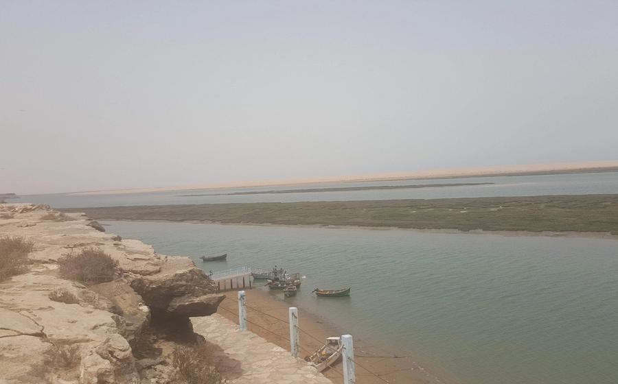
- The Khnifiss Lagoon, one of Morocco’s most important wetlands, on the region’s northern edge.
Economy
Fishing, phosphates and renewable energy are the region’s main industries. Phosphate rock from the Bou Craa mine travels to the coast near Laâyoune on a conveyor belt about 100 km long, and the wind farms around Tarfaya and Laâyoune feed the national grid. See Economy for more.
Getting around
The N1 and the Tiznit–Dakhla expressway run the length of the coast. Distances are long, and a car gives the most freedom, but coaches link all the main towns.